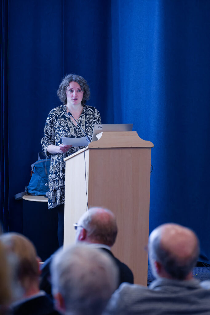
Saturday 11 May 2024 marked the culmination of a two-year joint project with the PSNS & Historic Towns Trust: the production of a Historical Map of Perth including many sites of interest over the last one thousand years.
The Map is available in bookstores (Waterstones) and other outlets including Perth Museum, Perth Art Gallery and the AK Bell Library, and can be ordered online (HTT, AmazonUK).

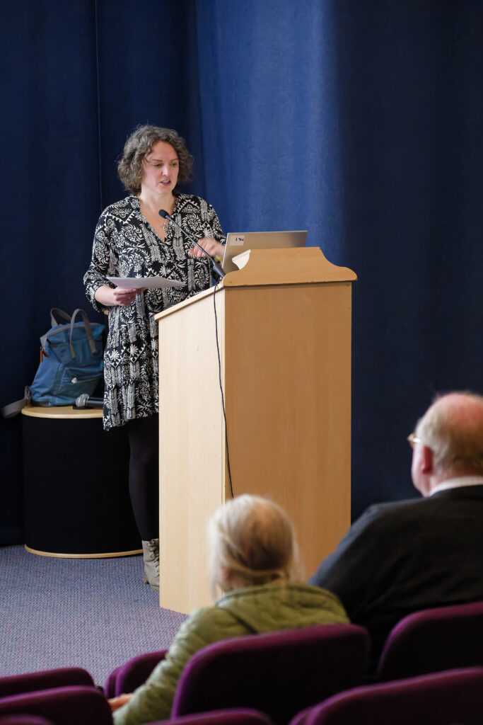
Speakers at the event were:
John Lewington, former President of the Perthshire Society of Natural Science, gave an introduction


Professor Vanessa Harding, Chair of the Historic Towns Trust, on “Mapping our Shared History”
Theresa Hughes, President of PSNS Archaeology & History Section, on “A Fair Map of Perth”


Dr Mike Robinson, Royal Scottish Geographical Society, on “A Sense of Place”
David Bowler, Director of Alder Archaeology Ltd, on “A Thousand Years in Twenty Minutes – an Overview of Perth”


John Moore, Honorary Secretary of the Historic Towns Trust, gave a vote of thanks.
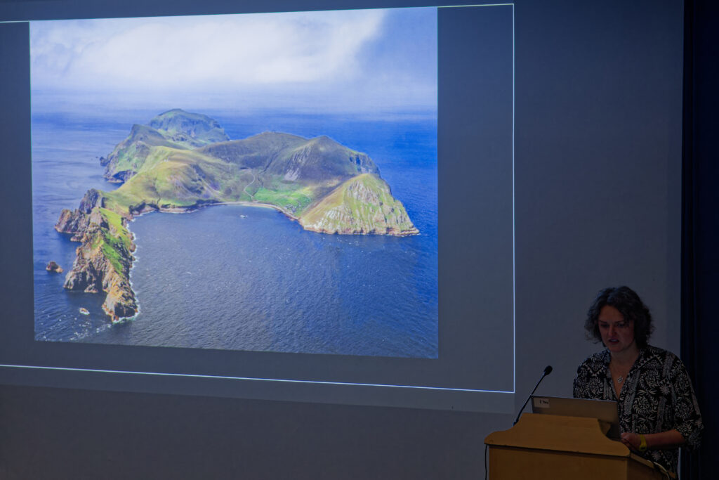
In the process, we heard how the geological and geographical settings influenced Perth’s location, culture and history.
A video of the event can be viewed on our YouTube channel: https://youtu.be/k9cX2zt46YE
The Map is available in bookstores (Waterstones) and other outlets including Perth Museum, Perth Art Gallery and the AK Bell Library, and can be ordered online (HTT, AmazonUK).


